
Route 66 Road Trip Stops in Arizona Worth Leaving I-40 For
Route 66 is a renowned highway that was commissioned in 1926. Arizona’s stretch crossed high desert, pine forest, and steep mountain passes. Dust Bowl families drove it west in the 1930s because it was the main east-west highway at the time. Vacationers followed in the 1950s. Interstate 40 later bypassed every town along the way.
Many of those towns refused to fade. Today, the same neon still glows in Holbrook and Williams. The same burros still roam Oatman’s main street. You can sleep in a concrete wigwam, eat at a 1950s drive-in, and stand where the Mother Road once ended in Arizona. The road is quieter now, and in most places it is better preserved than it has been in decades.
Key Takeaways
- Arizona holds the longest surviving continuous stretch of original Route 66, running roughly from Seligman to Kingman and on toward the California line.
- Plan for four to six days to drive the full 400-plus miles from the New Mexico border to the Colorado River without rushing.
- Must-see stops include Petrified Forest National Park, Meteor Crater, Winslow, Flagstaff, Williams, Seligman, and Oatman, with an easy detour to the Grand Canyon from Williams or Flagstaff.
- Spring and fall offer the best weather, since summer brings desert heat in the west and winter brings snow to Flagstaff and Williams.
- Book lodging early in Williams and Flagstaff, and fill your gas tank before the long empty stretches west of Seligman.
Table of contents
- Key Takeaways
- History of Route 66 in Arizona
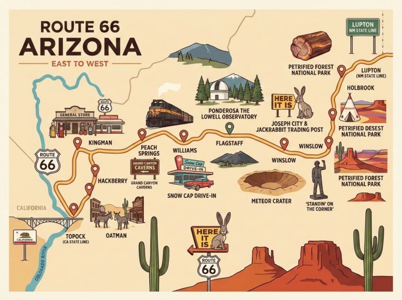
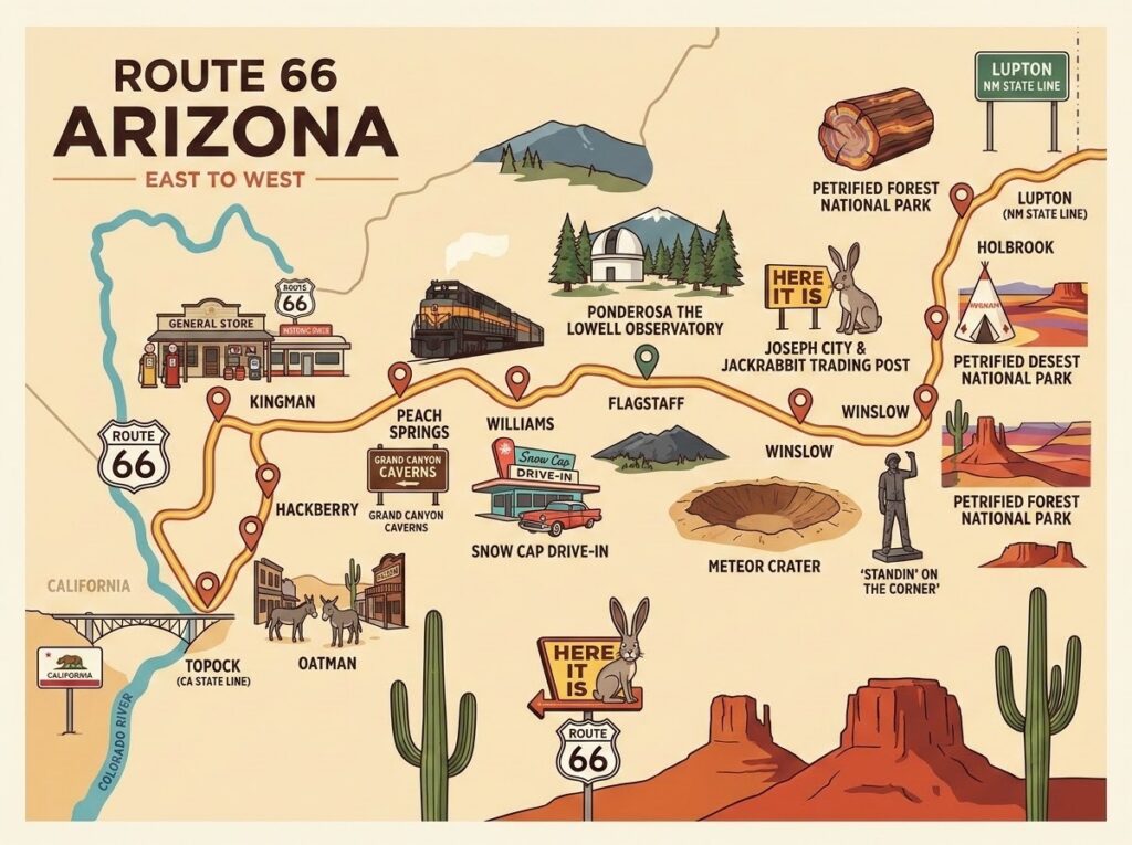
- Route 66 Map: Arizona Stops From East to West
- Route 66 Arizona Towns and Stops
- Petrified Forest National Park
- Meteor Crater
- Grand Canyon Side Trip From Route 66
- Things to See and Do Between the Towns
- Getting There and How to Start
- Best Time to Visit Route 66 in Arizona
- Road Trip Itinerary: Five Days on Route 66 in Arizona
- Where to Stay Along Route 66 in Arizona
- Travel Tips for Driving Route 66 in Arizona
- Frequently Asked Questions
- Where the Old Road Still Leads
History of Route 66 in Arizona
Route 66 in Arizona grew out of older paths. Railroad surveys, wagon roads, and the National Old Trails Road all traced similar lines across the northern part of the state before the federal highway system arrived.
Key moments on the Arizona stretch of Route 66:
| Time | Key Moment |
| 1926 | Route 66 is officially designated. It will link Chicago, IL, to Santa Monica, CA. |
| 1930s | Families escaping the Dust Bowl began using Route 66 to travel west through Arizona. This became a lifeline for migrants heading to California. |
| 1937 – 1938 | Route 66’s paving was completed. Thus, making the more treacherous areas of Arizona’s mountain and desert sections easier to drive. |
| 1950s | After World War II, road trips boomed. Cities along Route 66 began to take advantage of this to build motels, diners, and trading posts. Bright neon signs also began to multiply in towns like Holbrook, Winslow, and Williams. |
| 1952 | The route bypassed the steep Sitgreaves Pass, greatly reducing traffic through Oatman. |
| 1984 | Williams becomes the last town on the entire route to be bypassed by I-40. |
| 1985 | Route 66 has been removed from the federal highway system. |
| 1987 | Angel Delgadillo, a barber in Seligman, along with fellow residents, forms the Historic Route 66 Association of Arizona. The state then designated the road as Historic Route 66. |
That local push in Seligman sparked a preservation movement that spread across all eight Route 66 states. Arizona’s grassroots revival is a big reason the road still draws travelers from around the world.
Route 66 Map: Arizona Stops From East to West
The Arizona section runs about 400 miles from Lupton on the New Mexico border to Topock on the Colorado River. Much of the eastern half now runs alongside or under I-40, while the western half, between Seligman and Topock, retains long stretches of the original roadbed.
Use this sequence as your driving map. Distances are approximate and measured from the previous stop.
| Stop (East to West) | Approximate Distance From Previous Stop |
| Lupton (New Mexico state line) | Starting point |
| Petrified Forest National Park | About 50 miles |
| Holbrook | About 25 miles |
| Joseph City and Jackrabbit Trading Post | About 15 miles |
| Winslow | About 20 miles |
| Meteor Crater | About 25 miles |
| Flagstaff | About 40 miles |
| Williams | About 32 miles |
| Seligman | About 43 miles |
| Peach Springs | About 37 miles |
| Hackberry | About 30 miles |
| Kingman | About 27 miles |
| Oatman | About 28 miles |
| Topock (California state line) | About 25 miles |
For turn-by-turn guidance on old alignments, pick up a printed Route 66 guidebook or the free maps offered at visitor centers in Holbrook, Flagstaff, Williams, and Kingman. Phone signal drops in several areas, so paper maps are a smart backup.
Route 66 Arizona Towns and Stops
Each Arizona Route 66 town has its own personality. Here is what makes each one worth a stop.
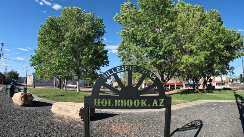
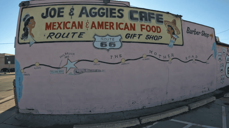
Holbrook
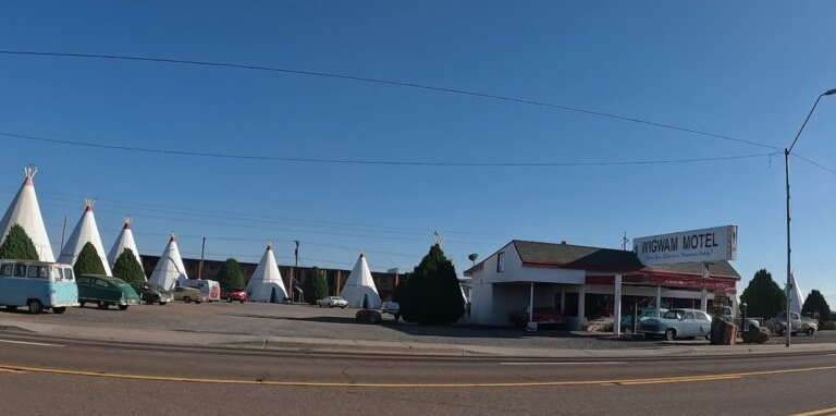
Holbrook is best known for the Wigwam Motel, built in 1950, where guests sleep in concrete teepee-shaped rooms with vintage cars parked out front. Dinosaur statues line the roadside, and rock shops sell petrified wood by the pound. It is the most convenient base for Petrified Forest National Park.
Winslow
Winslow became famous for the Eagles’ 1972 song “Take It Easy,” which mentions standing on a corner in Winslow, Arizona. Standin’ on the Corner Park now marks the spot with a bronze statue and a painted mural.

The bigger treasure is La Posada Hotel. Architect Mary Colter designed it for the Fred Harvey Company, and it opened in 1930 as one of the great railroad hotels of the Southwest. It was later restored and reopened to guests. Its Turquoise Room restaurant is a destination in itself.
Flagstaff
Flagstaff sits at about 7,000 feet among ponderosa pines, which makes it far cooler than the desert towns around it. Route 66 runs straight through downtown alongside the railroad tracks.
Top reasons to stop:
- Lowell Observatory, where astronomer Clyde Tombaugh discovered Pluto in 1930
- Historic downtown hotels like the Hotel Monte Vista and the Weatherford Hotel
- The Museum of Northern Arizona, focused on the region’s Native cultures and geology
- Exceptional stargazing, since Flagstaff became the world’s first International Dark Sky City in 2001
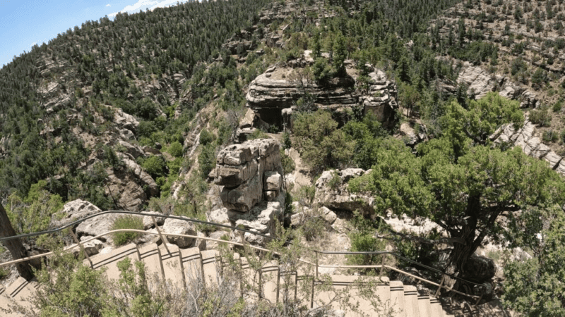
- Walnut Canyon National Monument, with cliff dwellings a short drive east
Williams
Williams calls itself the Gateway to the Grand Canyon. Its compact downtown packs vintage motels, neon signs, saloons, and gift shops into a few walkable blocks. Because it held out the longest against the interstate, Williams feels like the most intact small-town Route 66 experience in Arizona.
The Grand Canyon Railway departs from the historic Williams Depot each morning. Nearby, Bearizona Wildlife Park lets you drive past bears, wolves, and bison.
Seligman
Seligman is the town that sparked the Route 66 revival. Angel Delgadillo’s barbershop still welcomes visitors as a gift shop, and his family’s Snow Cap Drive-In has served burgers with a side of practical jokes since 1953. Expect fake mustard bottles, joke menus, and plenty of laughs.
Seligman’s colorful storefronts and retro cars helped inspire the look of Radiator Springs in the Pixar movie Cars. It also marks the start of the longest continuous original stretch of Route 66 in Arizona. Unfortunately, we didn’t get to the western portion of Route 66 on our epic Arizona road trip.
Kingman
Kingman anchors the western half of the Arizona route. The Powerhouse Visitor Center houses the Arizona Route 66 Museum, which traces the road from its wagon-trail origins to the neon era. Across the street, a steam locomotive sits on display at Locomotive Park, and Mr. D’z Route 66 Diner serves classic diner fare in a bright pink-and-turquoise dining room.
Oatman
Oatman is a former gold-mining town reached by a winding climb over Sitgreaves Pass. Wild burros, descended from animals used by early miners, wander the main street and approach visitors for food. Buy approved burro pellets in local shops instead of feeding them anything else.
Clark Gable and Carole Lombard are said to have spent their wedding night at the Oatman Hotel in 1939. Today, the hotel’s walls are covered in signed dollar bills, and staged gunfights play out on weekends.
Petrified Forest National Park
The Petrified Forest National Park is the only national park that protects a section of Route 66. A line of old telephone poles and a rusted 1932 Studebaker mark where the road once crossed the park.
The route through the park is a single scenic road that runs about 28 miles between the north entrance at 1-40 exit 311 and the south entrance on US 180 near Holbrook. Plan for three to four hours to drive the entire road, with a few short stops. If you will be taking any of the longer hikes, plan for being there all day.
Since the park is both north and south of I-70, it is recommended that westbound travelers enter the park from the north and exit to the south toward Holbrook.
Highlights of the Park
All of the stops in the park are outstanding. However, if in a bit of a rush, make sure you stop by and check out the following points of interest:
- Painted Desert Inn: A historic adobe building with murals and sweeping views of the red and orange badlands.
- Route 66 Pullout: The Studebaker and telephone poles that mark the old alignment.
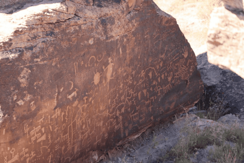
- Newspaper Rock: More than 650 petroglyphs carved by ancestral Puebloan people.
- Blue Mesa: A one-mile loop trail through striped blue-and-purple hills.
- Crystal Forest: A short paved trail past sparkling petrified logs.
- Rainbow Forest Museum and Giant Logs Trail: Some of the largest petrified logs in the park, right behind the museum.
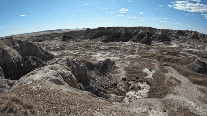
The petrified wood formed about 200 million years ago when ancient trees were buried and slowly replaced by quartz minerals. Taking any wood from the park is illegal. If you want a souvenir, buy legally sourced pieces at shops outside the park.
Meteor Crater
Meteor Crater is one of the best-preserved impact craters on Earth. It sits about 6 miles south of I-40 at exit 233, between Winslow and Flagstaff.
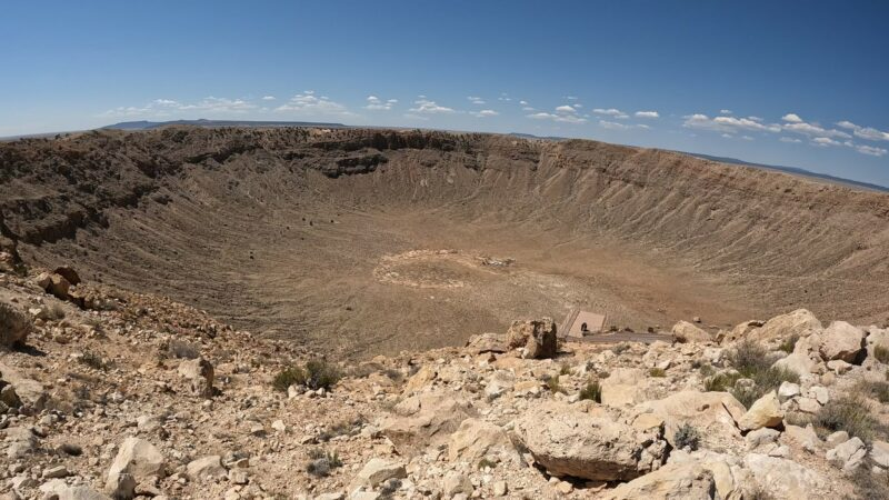
Quick Facts about the Meteor Crater
- Age: About 50,000 years
- Width: Close to 1 Mile across
- Depth: About 550 feet
- Ownership: Privately owned and operated
- Time Needed: About 1.5 to 2 hours
- Highlights: Rim viewing decks, guided rim tours, an interactive museum, and a 4D theater.
Apollo astronauts trained at the crater in the 1960s because its terrain resembled the lunar surface. The visitor center includes an astronaut training exhibit and a real meteorite fragment that visitors can touch.
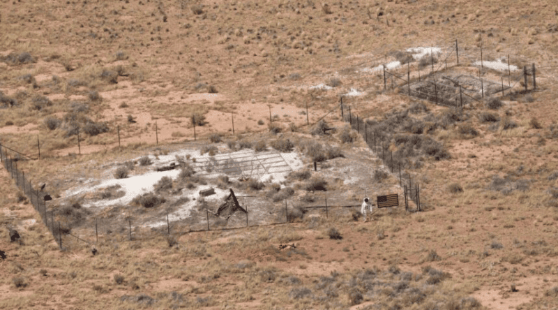
Because it is privately run, admission is separate from any national park pass. Go early in the day to beat the crowds and the wind, which can pick up across the open plain by the afternoon.
Grand Canyon Side Trip From Route 66
The Grand Canyon is not on Route 66, but it is close enough that nearly every Arizona road trip includes it. You have three practical ways to see it.
Option one: Drive from Flagstaff to the South Rim. The South Rim is about 80 miles from Flagstaff. Take US 180 through the forest, or loop through the east entrance via US 89 and Desert View Drive for extra viewpoints.
Option two: Ride the Grand Canyon Railway from Williams. The train runs about 65 miles to the South Rim, taking roughly two hours and fifteen minutes each way, with several hours to explore before returning. Strolling musicians and a staged train robbery entertain passengers. This option means no parking stress at the rim.
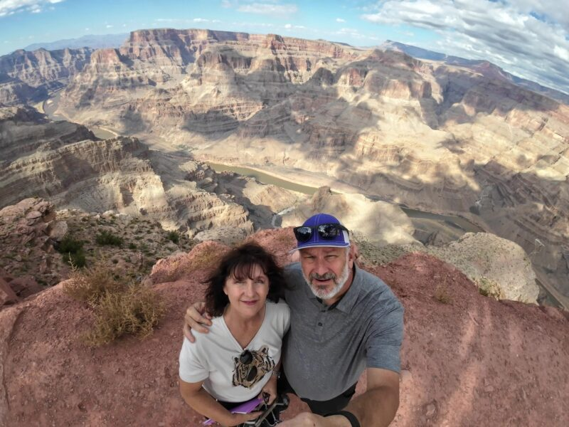
Option three: Visit Grand Canyon West from the western stretch. Run by the Hualapai Tribe, Grand Canyon West is home to the glass Skywalk. It is reached from the Kingman area and works well for travelers focused on the western half of Route 66. It sits far from the national park’s South Rim, so treat it as a separate experience.
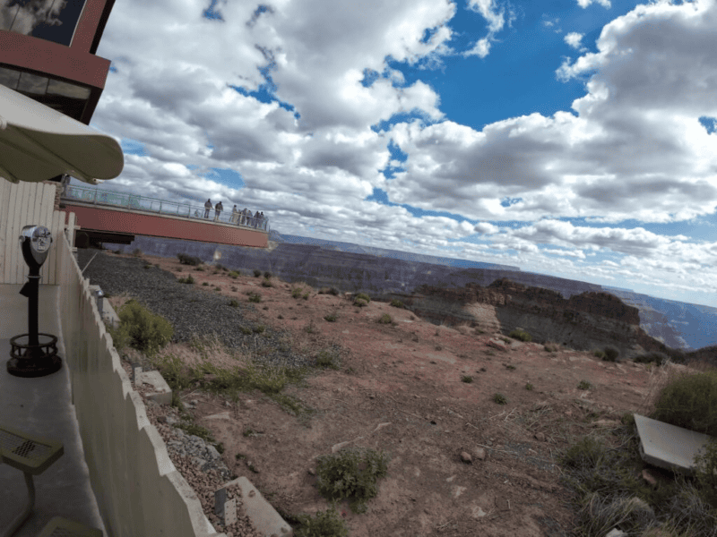
The South Rim is open year-round and offers the most viewpoints, lodges, and services. For a first visit, it is the strongest choice.
Things to See and Do Between the Towns
Some of the best Route 66 moments happen in the empty miles between towns. These lesser-known stops reward travelers who slow down.
Roadside icons
- Jackrabbit Trading Post near Joseph City, famous for its “Here It Is” billboard and giant jackrabbit statue
- Twin Arrows, a pair of giant arrow sculptures at a former trading post east of Flagstaff
- Burma-Shave style rhyming signs along the stretch between Seligman and Kingman
Ghost towns and ruins
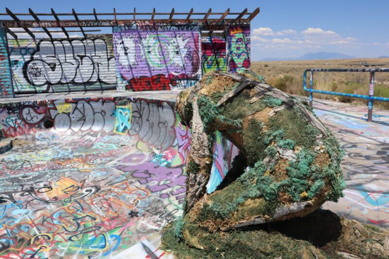
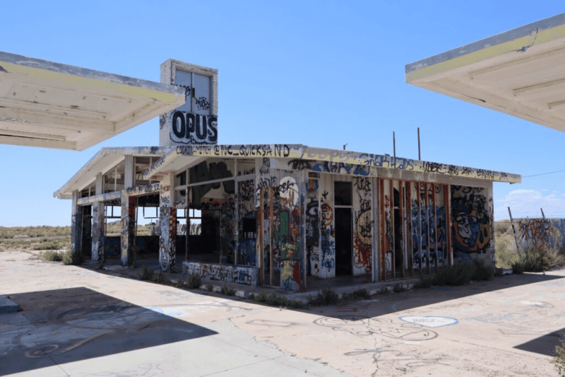
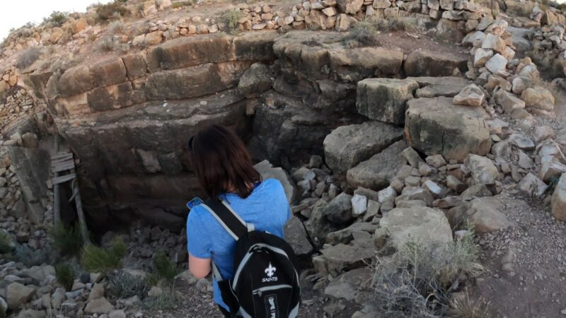
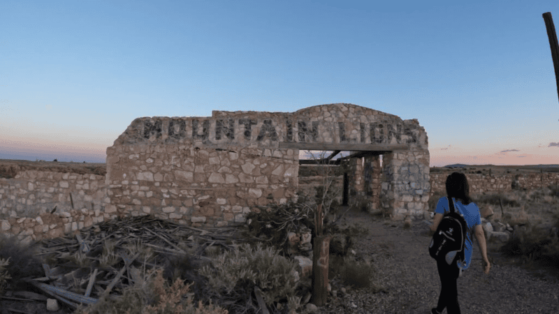
- Two Guns, a crumbling roadside attraction near Canyon Diablo
- Truxton and Valentine, tiny settlements with faded motels and quiet stretches of original road
- Cool Springs Station, a rebuilt stone gas station at the foot of Sitgreaves Pass
Hidden attractions
- Grand Canyon Caverns near Peach Springs, where you can tour dry limestone caves about 210 feet underground and even book an underground motel room
- Hackberry General Store, packed with vintage gas pumps, signs, and memorabilia
- Pete’s Gas Station Museum in Williams is a restored filling station full of old automobile artifacts
Experiences worth planning for
- Night photography of neon signs in Holbrook, Williams, and Kingman
- A slow drive over Sitgreaves Pass with its tight hairpin turns and desert views
- Stargazing outside Flagstaff, one of the darkest skies near any American city
Getting There and How to Start
Most travelers start their Arizona Route 66 trip from one of three airports.
Phoenix Sky Harbor International Airport (PHX)
- About 2.5 hours to Flagstaff by car
- Best for travelers who want the most flight options and rental car choices
- Start in Flagstaff and drive east first, then west, or split the route into two loops
Harry Reid International Airport, Las Vegas (LAS)
- About 1.5 to 2 hours to Kingman
- Best for travelers driving west to east
- Start with Oatman and the classic western stretch while you are fresh
Albuquerque International Sunport (ABQ)
- About 2.5 hours to the Arizona state line on I-40
- Best for continuing a longer Route 66 trip from New Mexico
- Enter Arizona near Lupton and head straight for Petrified Forest
Flagstaff Pulliam Airport offers limited regional flights for travelers who want to start mid-route. Whichever airport you choose, one-way rental fees can be steep, so compare round-trip and one-way rental prices.
Best Time to Visit Route 66 in Arizona
Arizona’s Route 66 spans more than 6,000 feet of elevation change. The weather in Flagstaff and Oatman can feel like two different states on the same day.
Spring (March to May)
This is the best overall season. Mild temperatures across most of the route and wildflowers in the desert. Expect occasional wind and late snow in Flagstaff in March.
Summer (June to August)
Flagstaff and Williams stay pleasant, but Kingman, Oatman, and Topock often top 100 degrees. Monsoon storms bring afternoon lightning and flash flooding risks from July through September. Drive the western desert early in the morning.
Fall (September to November)
A close tie with spring. Comfortable temperatures, fewer crowds after Labor Day, and golden aspens near Flagstaff in late September and early October.
Winter (December to February)
Snow can close roads or slow travel around Flagstaff and Williams. The western desert stays mild. Winter suits flexible travelers who want quiet towns, lower hotel rates, and the Polar Express train ride from Williams during the holiday season.
Road Trip Itinerary: Five Days on Route 66 in Arizona
This east-to-west itinerary covers every major stop with time to enjoy each one.
Day 1: Petrified Forest and Holbrook
Enter Petrified Forest National Park from the north entrance in the morning. Drive the entire park road, stopping at the Painted Desert Inn, the Route 66 pullout, Blue Mesa, and the Giant Logs Trail. Exit south and spend the night at the Wigwam Motel in Holbrook.
Day 2: Winslow and Meteor Crater
Stop at Jackrabbit Trading Post on the way west. Spend the late morning in Winslow at Standin’ on the Corner Park and La Posada. Visit Meteor Crater in the afternoon, then continue to Flagstaff for the night. End with a stargazing program at Lowell Observatory.
Day 3: Flagstaff and the Grand Canyon
Drive to the South Rim early. Walk part of the Rim Trail, stop at Mather Point and Yavapai Point, and catch the sunset at Hopi Point. Return to Flagstaff or continue to Williams for the night.
Day 4: Williams and Seligman
Explore downtown Williams in the morning. If you skipped the Grand Canyon drive, ride the Grand Canyon Railway today instead. In the afternoon, drive to Seligman for the Snow Cap Drive-In and Delgadillo’s shop. Overnight in Seligman or at Grand Canyon Caverns.
Day 5: The Western Stretch to Oatman
Follow the original road through Peach Springs, Truxton, and Hackberry. Visit the Arizona Route 66 Museum in Kingman. Climb Sitgreaves Pass to Oatman to meet the burros, then descend to Topock and the Colorado River.
Where to Stay Along Route 66 in Arizona
Staying in historic lodging is part of the Route 66 experience. These are the most memorable options by town.
| Town | Where to Stay |
| Holbrook | Wigwam Motel for the classic teepee rooms and vintage cars |
| Winslow | La Posada Hotel for Mary Colter architecture and fine dining |
| Flagstaff | Hotel Monte Vista or the Weatherford Hotel for historic downtown charm |
| Williams | Grand Canyon Railway Hotel for train packages, or a restored neon motel on the main drag |
| Grand Canyon South Rim | El Tovar or Bright Angel Lodge for rim-side views |
| Seligman | Small family-run motels with retro signage |
| Peach Springs area | Grand Canyon Caverns, including its underground suite |
| Kingman | El Trovatore Motel for its Route 66 murals and neon |
Flagstaff offers the widest range of chain hotels if you need reliable availability. For historic options, book months in advance for spring and fall weekends.
Travel Tips for Driving Route 66 in Arizona
- Fuel up often. Gas stations are sparse west of Seligman and between Kingman and Topock. Refill whenever you drop to half a tank.
- Watch the clock. Arizona does not observe daylight saving time, but the Navajo Nation does. Your phone may switch time zones near the reservation, which can affect tour and reservation times.
- Carry extra water. Keep at least a gallon per person in the car, especially in summer.
- Drive Sitgreaves Pass carefully. The road has sharp turns, steep drop-offs, and, in places, no guardrails. Large RVs and trailers should use I-40 to reach the Oatman area instead.
- Download offline maps. Signal drops in long stretches, particularly between Seligman and Kingman.
- Bring cash. Small shops, diners, and burro food vendors in Seligman and Oatman may not accept cards.
- Respect tribal lands. Sections of the route cross Navajo and Hualapai lands. Follow posted rules and ask before photographing people.
- Start early. Morning light is best for photos, and you will beat tour buses at popular stops.
Frequently Asked Questions
How long is Route 66 in Arizona?
Route 66 in Arizona stretches about 400 miles from the New Mexico border near Lupton to the California border at Topock.
How many days do you need for Route 66 in Arizona?
Four days cover the main highlights. Five to six days allow time for the Grand Canyon, Petrified Forest hikes, and relaxed stops in each town.
What is the best stretch of Route 66 in Arizona?
The section from Seligman to Kingman is the most popular because it is the longest continuous stretch of original Route 66 left in the country. Many travelers extend it over Sitgreaves Pass to Oatman.
Is the Grand Canyon on Route 66?
No. The South Rim is about 60 miles north of Williams and about 80 miles north of Flagstaff, making it an easy side trip.
Can you drive Route 66 in Arizona in an RV?
Yes, on most of the route. The exception is Sitgreaves Pass between Kingman and Oatman, where tight curves make it unsafe for large RVs and trailers.
Are the burros in Oatman safe to approach?
They are generally gentle but still wild animals. Feed them only pellets sold in town, keep children close, and avoid standing behind them.
Which Arizona town is most like the movie Cars?
Seligman is the town most often linked to Radiator Springs. Its revival story and quirky storefronts helped inspire the film’s creators.
Where the Old Road Still Leads
Route 66 began in Arizona as a way to get somewhere else. Migrants crossed it toward California. Families raced it toward the ocean. The towns along it were places to refuel and keep moving.
Today, those same towns have become the destination. Travelers fly in from around the world to stand on a Winslow corner, order a cheeseburger in Seligman, and wait for a burro to cross the road in Oatman. The highway that once carried people away now brings them back.
Drive it slowly. Stop at the faded sign that catches your eye. The Arizona stretch of Route 66 still rewards anyone willing to leave the interstate and follow the older line across the desert.
Thanks for visiting www.TravelwithDandE.com for your best travel information. Thanks for checking out the post, and you will want to check out some of our other Arizona travel and beyond! Check out Travel with D and E’s YouTube channel for great travel information and Cruising with D and E for great cruising experiences.


