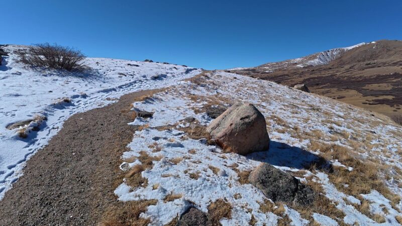
Guanella Pass Scenic Byway: Colorado’s 24-Mile Mountain Drive
Some Colorado drives are about getting somewhere. Guanella Pass is about twenty-four miles in between. The byway links the old mining town of Georgetown with the small community of Grant, and somewhere along the way it climbs to 11,669 feet, which is high enough that the weather and the views both change on you. We like mountain roads that reward a slow pace, and this one does. There are pullouts for picnics, trailheads at the top, a campground tucked into the trees below the summit, and a genuine sense of history that dates back to the days when wagons hauled goods over this same ground.
This guide covers what the pass actually is and what the drive is like. It will let you know where you can and cannot park, and what to do once you reach the top. Finally, the post provides information on the landmarks, the campground, and practical details worth checking before you drive uphill.
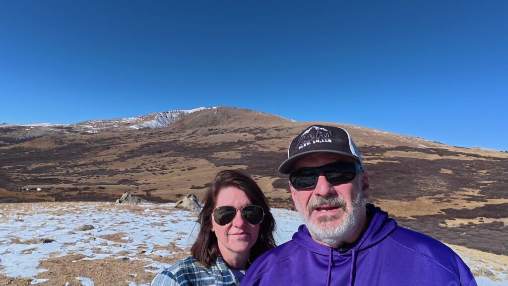
Key Takeaways
- Guanella Pass is a scenic 24-mile route in Colorado that links Georgetown and Grant and reaches an elevation of 11,669 feet.
- The drive offers beautiful scenery, picnic spots, and various hiking trails at the summit, making it a popular destination.
- Parking near the summit is limited and strictly enforced; arrive early to secure a spot or have a backup plan.
- The drive passes through distinct life zones and features notable landmarks like Mount Bierstadt and Square Top Mountain.
- Guanella Pass is worth the visit for its blend of history, views, and outdoor activities, including camping and wildlife watching.
What Is Guanella Pass?
Guanella Pass is a scenic mountain pass in Colorado covering roughly 24 miles between Georgetown and Grant. The byway’s main route is paved, which makes it accessible to standard passenger cars rather than just high-clearance vehicles. At its high point, the road reaches 11,669 feet above sea level.
It is a designated scenic byway, and it has been in use for a long time. Records describe the route as a short but historic 24-mile byway that has seen plenty of action over the past century, including use by miners hauling goods and products across the mountains. That history is part of the appeal. You are not driving on a road that was engineered purely for sightseeing. You are driving a corridor that once carried people and materials through tough terrain.
The pass also ranks well with visitors. On Tripadvisor, it ranks number two among twenty-six things to do in Georgetown, listed under sights and landmarks, outdoor activities, and scenic drives. Reviewers tend to describe it simply as a lovely mountain drive. That matches our experience of mountain passes in general: the payoff is the road itself, not a single attraction at the end.
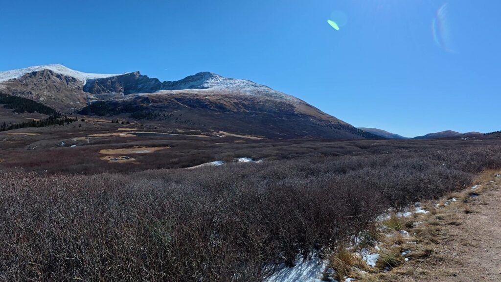
The Route: Georgetown to Grant
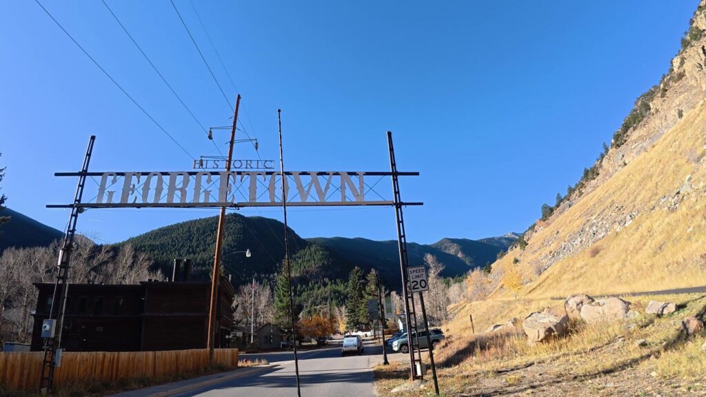
Starting in Georgetown—a community shaped by silver mining—the route climbs south across high country before winding down into Grant. If you are setting up GPS navigation for Guanella Pass Road in Georgetown, CO 80444, it usually points to the northern trailhead.
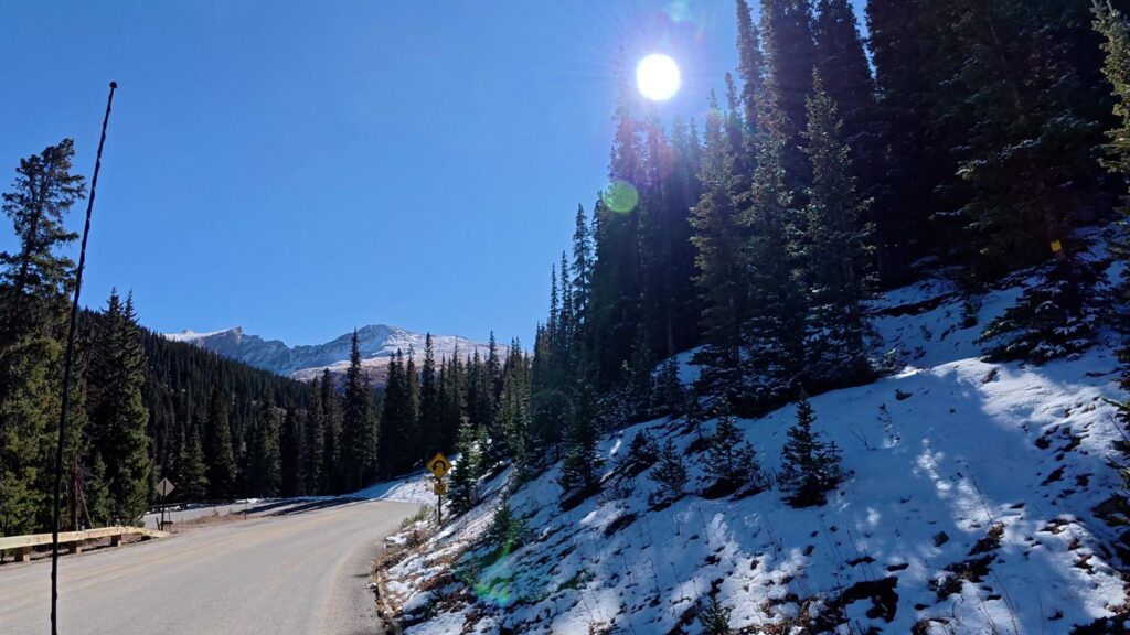
What you get along the way is a steady climb through the forest, then a transition into higher, more open terrain as you approach the summit. Because the road tops out above 11,000 feet, the vegetation thins noticeably near the top, and the views open up in every direction. The corridor crosses national forest land, and the surrounding area includes a mix of federal, county, and private roads and landholdings, which is worth keeping in mind if you decide to wander off the main route.
What the Drive Actually Feels Like
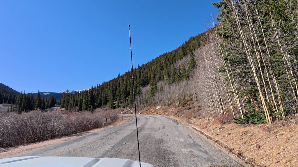
The route offers an exceptionally scenic mountain drive, featuring convenient roadside pullouts for taking in the view or enjoying a quiet picnic. Because the main corridor is fully paved, standard passenger cars can handle the ascent comfortably, assuming it is not heavily iced. Travelers regularly note the beautiful scenery, the pleasant lunch stops along the way, and the rewarding variety of hiking trails at the summit.
The mountain pass, at 11,669 feet, means the weather conditions found in Georgetown may be significantly different at the top. This is a mountain road at altitude. Build in more time than the mileage suggests, drive conservatively on the climb, and expect to share the road with cyclists and other sightseers on nice days.
For travelers who want more than pavement, the Saxon Mountain area near the pass has a network of four-wheel drive routes shown on published forest maps. Those are a different category of outing entirely and require a suitable vehicle and real preparation. The main byway is the family-friendly option. Anything beyond that is a step up in commitment.
A Little History Along the Way
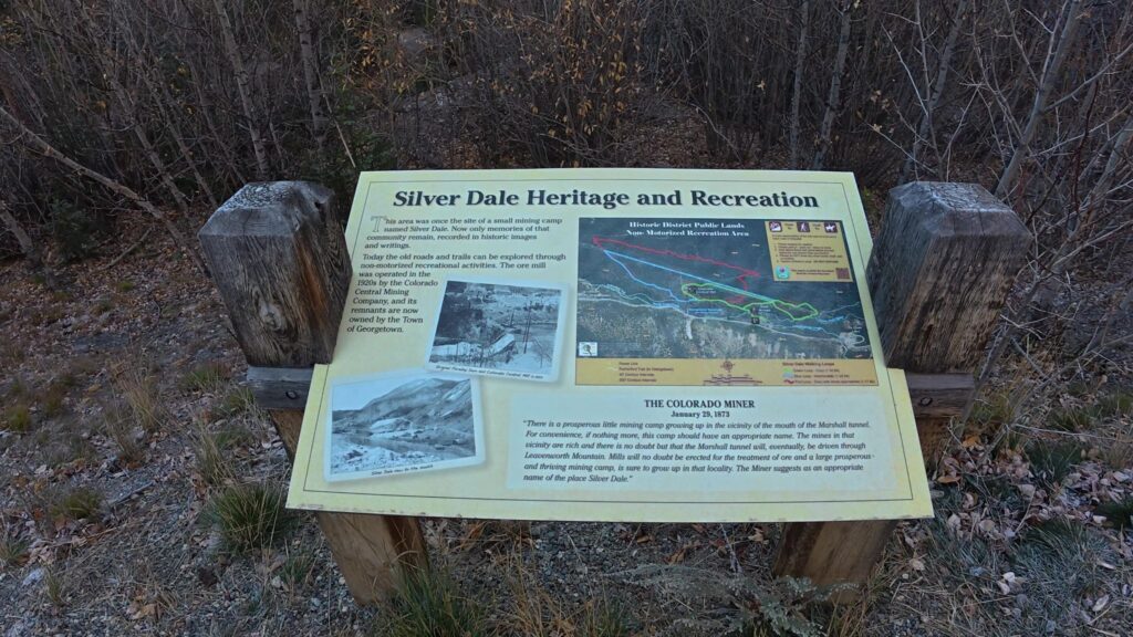
The Guanella Pass corridor has been a working route for a long time. Miners used the pass to haul goods and products over the mountains, which makes sense given Georgetown’s mining heritage and the area’s geography.
The pass is named after Byron Guanella, a Clear Creek County commissioner who spent years in the mid-1900s pushing to turn a rough route into a usable road. Long before that, the corridor linked silver mining camps around Georgetown with ranching and stage country to the south during the boom of the 1860s through the 1890s.
Colorado later designated the road a scenic and historic byway, and a multiyear reconstruction project wrapped up around 2010, leaving the full route paved.
If you enjoy historic sites and old mountain towns, pairing the drive with time in Georgetown makes for a full and satisfying day. Georgetown itself is the kind of town where a walkable core, old buildings, and mining history do most of the work.
Parking at the Summit: The Rules Matter
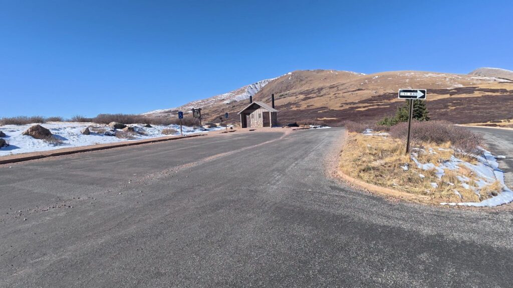
This is the part people get wrong. Parking near the top is limited, and enforcement is real. Vehicles parked in no-parking zones will be ticketed. There is no parking on the roadway shoulder within one-half mile of the summit. Recognize that the parking areas fill up on busy days, including weekday afternoons. So, get there early if you want a parking spot.
The practical takeaway is simple. Either wait for a space to open, park at a legitimate lower pullout and enjoy that spot instead, or come back earlier in the day. We have learned to treat summit parking as a first-come situation and to have a backup plan before we start the climb.
Facilities / Amenities
Here is exactly what you will and will not find at the summit:
Available
- Large paved parking lot
- Vault toilets
- Interpretive signs
- Trailheads for Bierstadt and Square Top
Not available
- Drinking water
- Food or concessions
- Gas
- Trash service at every stop, so pack out what you bring
- Dependable cell coverage
Top off your tank and water bottles in Georgetown or Grant before driving up.
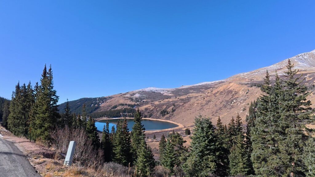
Natural Features / Terrain
The drive passes through three distinct life zones in under an hour. What you will see as your drive up to the pass includes:
- Montane forest (lower slopes): Lodgepole pine, Douglas fir, and dense aspen groves.
- Subalpine forest: Engelmann spruce, subalpine fir, and twisted krummholz at the treeline.
- Alpine tundra (summit): Low wildflowers, lichen, willow wetlands, and broad open views
Notable landmarks include:
- Mount Bierstadt: (14,060 feet), rising east of the summit
- Square Top Mountain: (13,794 feet), to the west
- The Sawtooth: a jagged ridge connecting Bierstadt to Mount Blue Sky
- Mount Blue Sky Wilderness: formerly Mount Evans Wilderness, borders the east side
- Duck Lake, Clear Lake, and the Square Top Lakes: scattered along the corridor
Wildlife is a highlight. Mountain goats, bighorn sheep, elk, ptarmigan, pikas, and yellow-bellied marmots all live here. Moose frequent the willow flats near the summit, especially at dawn and dusk.
Hiking and Picnicking at the Top
The summit area is the main event for most visitors. Trails depart from near the top, offering options ranging from a short walk with a view to something more substantial. Visitors regularly highlight the variety of hiking trails at the top, which makes the pass a reasonable stop for mixed groups where not everyone wants the same distance or amount of climbing.
An important fact to remember is the altitude. Many of these walks reach elevations above 11,000 feet, so a trail that feels easy in Denver will feel considerably harder here. Give yourself permission to go shorter than planned. Turn around early if you need to. Drink more water than you think you need, and keep an eye on the sky, because afternoon weather in the high country can build quickly.
Picnicking is the low-effort, high-reward option. The drive has places to stop for a picnic, and a thermos and a sandwich at a high pullout is hard to beat. Pack out everything you bring, including crumbs and wrappers, since these areas see heavy traffic and trash adds up fast.
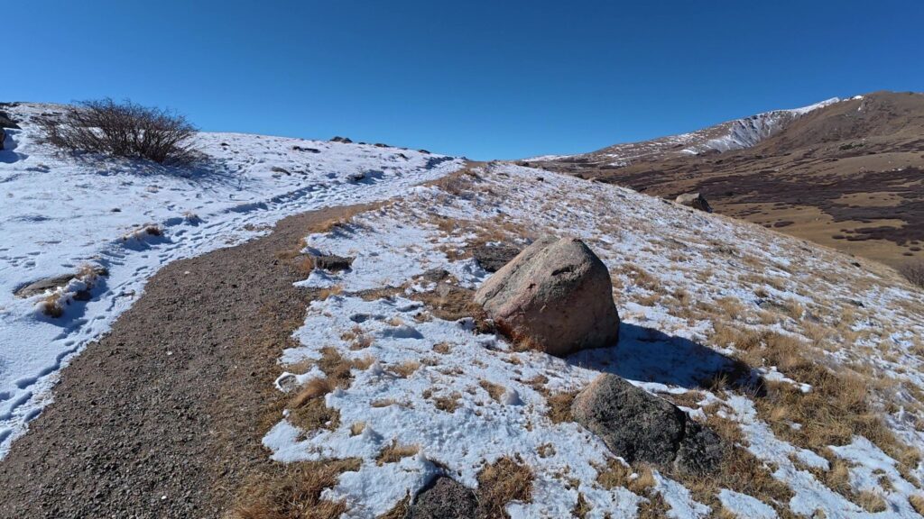
Hiking Trails
These are the most rewarding trails starting on or near the pass. Distances are round-trip and approximate.
Mount Bierstadt
- Distance: about 7 miles
- Elevation gain: about 2,850 feet
- Difficulty: Moderate to strenuous, Class 2 near the top
- Best for: First fourteener
Square Top Lakes
- Distance: about 4 miles
- Elevation gain: about 600 feet
- Difficulty: Easy to moderate
- Best for: Families, wildflowers, alpine lakes
Square Top Mountain
- Distance: about 8 miles
- Elevation gain: about 2,400 feet
- Difficulty: Strenuous
- Best for: Hikers wanting thirteener solitude
Silver Dollar Lake
- Distance: about 3 miles
- Elevation gain: about 900 feet
- Difficulty: Moderate
- Best for: A short, scenic lake hike below the summit
Abyss Lake (from Burning Bear area)
- Distance: about 16 miles
- Elevation gain: about 3,000 feet
- Difficulty: Strenuous
- Best for: Backpackers heading deep into the wilderness
A boardwalk now carries Bierstadt hikers across the boggy willows that once soaked every boot. Wilderness trails require free self-registration at the trailhead.
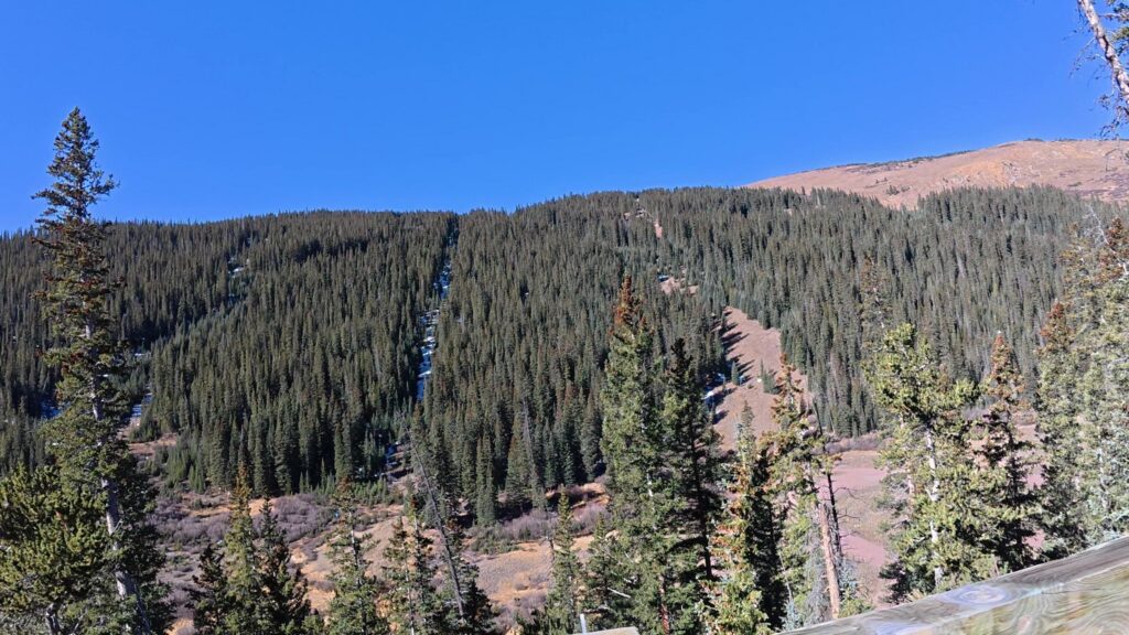
Recreation / Activities
Beyond hiking, the pass supports year-round play.
Summer and fall
- Scenic driving and photography
- Wildlife watching at sunrise
- Fishing for trout in Clear Lake, Duck Lake, and Geneva Creek
- Backpacking into Mount Blue Sky Wilderness
- Wildflower viewing, which peaks in mid to late July
Late September
- Aspen viewing, when the lower slopes turn gold for one to two weeks
Winter and spring
- Snowshoeing and backcountry skiing from the winter closure gates
- Snowmobiling on the unplowed road
- Avalanche terrain lies close by, so carry rescue gear and check forecasts
Guanella Pass Campground
If you want to stay overnight rather than just drive the pass, there are four Forest Service campgrounds along the byway. All are basic, with vault toilets and no hookups.
The campgrounds operate seasonally depending on the weather. That means availability varies year to year. At 10,900 feet, snow lingers, and the season can start later than campers expect.
Before you load the tent, confirm the campground’s current status directly with the managing agency and check whether it is open, closed, or accepting reservations. During our research, the campground was listed as closed for the season, a good reminder that it is not a year-round option.
Four Forest Service campgrounds include:
- Clear Lake: Small, closest to Georgetown, near a fishing lake.
- Guanella Pass: Highest campground on the road, closest to the summit trailheads.
- Geneva Park: South side, forested, near Geneva Creek.
- Burning Bear: South side, closest to Grant, near the Abyss Lake trail.
Reservations for these campgrounds are handled through Recreation.gov, and summer weekends book up weeks ahead. Camping at the summit parking lot is prohibited, and dispersed camping along parts of the corridor is limited to designated sites to protect fragile wetlands.
Before You Go: What to Check
The Guanella Pass Scenic Byway does not have designated open and close dates. Rather, it is based solely on the weather and conditions on this high-altitude road. Confirm the following with the relevant official sources before you drive up:
- Current road conditions and whether the pass is open to through traffic.
- Any seasonal closures or construction along the byway?
- Whether Guanella Pass or other campgrounds are open depends on the season and snow.
- Weather at elevation, not just in Georgetown.
- Sunset time, so you are not descending an unfamiliar mountain road in the dark.
A quick check takes five minutes and can save you a wasted morning. We would rather adjust a plan than drive an hour to a gate.
Getting There
A personal vehicle is the only practical way to reach Guanella Pass. No public transit serves the road.
- From Denver: About 55 miles and 60 to 75 minutes via I-70 West to Georgetown.
- From Colorado Springs: About 2.5 hours, usually via US 285 to Grant.
- From Denver International Airport: Plan on 90 minutes or more depending on I-70 traffic.
Any passenger car can handle the drive in summer. The road is fully paved with grades and switchbacks, so trailers and large RVs move slowly on the steeper sections near Georgetown.
I-70 traffic is the real obstacle. Sunday afternoons heading back toward Denver can double your drive time.
Directions / Location
The pass sits on the border of Clear Creek County and Park County, west of Mount Blue Sky and south of Georgetown.
From the north (Georgetown):
- Take I-70 to Exit 228 for Georgetown.
- Follow signs through town toward Guanella Pass Road.
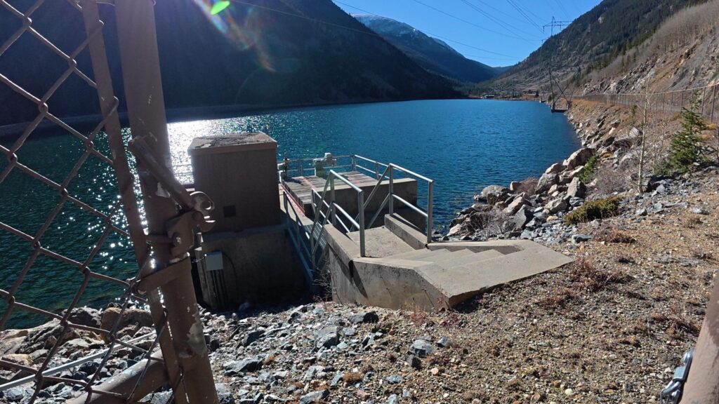
- Climb the switchbacks above town past Georgetown’s power plant reservoirs.
- Continue about 10 miles to the summit parking area.
From the south (Grant):
- Take US 285 to the village of Grant.
- Turn north on Guanella Pass Road (County Road 62).
- Drive about 12 miles, passing Geneva Park and Burning Bear areas.
- Reach the summit lot at the top.
Where to Stay
Several towns offer lodging, depending on which side of the pass you plan to explore, although you can easily explore the entire byway in a day without any problems.
- Georgetown: Georgetown is the best all-around hub for staying and dining. Historic inns, small hotels, and vacation rentals sit just 20 minutes from the summit.
- Idaho Springs: More hotel chains and rental options, about 35 minutes from the summit, but only 15 minutes or so east on I-70 past Georgetown.
- Silver Plume: Quiet and tiny, with a handful of rentals just west of Georgetown.
- Bailey and Grant area: Cabins and lodges are located on the US 285 side of the summit.
Book early for late September weekends, when leaf peepers fill every room in Georgetown.
Dining
No food is sold on the pass, so plan meals around the towns at each end.
Georgetown’s historic downtown has cafes, pubs, and casual eateries, like Rose 511, that work well for a post-hike lunch or an early breakfast before a sunrise drive. Idaho Springs offers more variety, including Beau Jo’s, known for its thick mountain-style pizza with honey for the crust, and Tommyknocker and Westbound Down breweries for burgers and craft beer.
On the southern side, small restaurants and a few roadside spots in Bailey serve travelers along US 285. Hours can be limited in shoulder seasons, so check ahead.
Frequently Asked Questions
How high is Guanella Pass?
The pass reaches an elevation of 11,669 feet. That is high enough that weather, vegetation, and how your body feels on a short walk can all differ from what you experienced in Georgetown or Grant. Give yourself extra time, hydrate, and turn around on a trail if the altitude is catching up with you.
Is the road over Guanella Pass paved?
The byway’s main route is paved, which makes the drive feasible in a standard passenger car. Surrounding forest roads, including four-wheel-drive routes in the Saxon Mountain area, are a different matter and require a suitable vehicle and proper navigation. Check current road conditions with official sources before you go.
Where can you park at the summit?
Park in designated parking areas only. No parking is allowed on the roadway shoulder within one-half mile of the summit. If you are found parking illegally, you will be ticketed. Parking spaces fill on busy days, including weekday afternoons, so arrive early or plan to use a lower pullout instead.
Can you camp on Guanella Pass?
Yes, you may camp at the Guanella Pass Campground, which is located about 7 miles south of Georgetown on the South Fork of Clear Creek along the byway. It operates seasonally at 10,900 feet, and opening typically depends on snow conditions rather than a fixed date. Confirm its current status with the managing agency before you head up. Other campgrounds on the byway include Clear Lake, Geneva Park, and Burning Bear.
What is there to do at the top of Guanella Pass?
The summit area offers hiking trails of varying lengths and plenty of scenery. The drive itself has places to stop for a picnic along the way. Many visitors combine a short hike with lunch at a high pullout, then continue over the pass toward Grant or head back down to Georgetown.
When is Guanella Pass open?
The road is typically fully open from late spring through late fall. The upper section closes to vehicles in winter.
How long does it take to drive Guanella Pass?
Driving straight through takes about 45 minutes to an hour, though most visitors stop for photos and to explore the trails.
Is there a fee to drive Guanella Pass?
No fee is charged to drive on the road. Campgrounds charge nightly fees.
When is the best time to see fall colors?
Aspens usually peak in the last two weeks of September.
Is Mount Bierstadt good for beginners?
It is often called a good first fourteener because the trail is well-defined, though altitude and weather still make it a serious hike.
Is Guanella Pass Worth It?
For a Colorado road trip that mixes scenery, history, and easy access to hiking, yes. Twenty-four miles of paved mountain road connect two historic communities, Georgetown and Grant. The summit is above 11,600 feet, with trails at the top and campgrounds below, a strong combination. It works as a standalone half-day or as a link between Georgetown and the Grant area.
The Guanella Pass Scenic Byway is most definitely worth the drive. Parking near the summit, along the road, and not in designated parking areas is restricted and enforced. The campground runs seasonally and depends on snow. Weather at elevation does its own thing. Handle those three things and the rest is simple: drive slowly, stop often, and give yourself enough daylight to enjoy the top without watching the clock. Finally, enjoy your time in historic Georgetown.
Thanks for visiting www.TravelwithDandE.com for your best travel information. Thanks for checking out the post, and you will want to check out some of our other Colorado travel and beyond! Check out Travel with D and E’s YouTube channel for great travel information and Cruising with D and E for great cruising experiences.